Travel mapping guide
How to Make a States, Counties, and Provinces Visited Map
A smaller boundary can tell a richer close-to-home story. Choose the right mode, decide what counts, and make a visited map you can explain and update.
A visited map can be more interesting close to home
Country maps are satisfying, but they compress enormous differences into one fill color. A road trip across three provinces, a goal to visit every county in a state, or years spent exploring U.S. territories deserve a map with a smaller unit.
The free States, Counties, and Provinces Visited Map lets you mark places in three modes: U.S. states and inhabited territories, U.S. counties and county equivalents, or Canadian provinces and territories. Everything stays in the browser, including saved selections.
Choose the boundary that matches the story
Use states and territories for a readable national overview. The mode separates the 50 states, District of Columbia, and five inhabited U.S. territories in its totals so “states visited” does not quietly blur different political categories.
Use counties when the trip is regional. County equivalents are included because not every U.S. jurisdiction uses the word county. Louisiana has parishes, Alaska has boroughs and census areas, and several independent cities function as county equivalents.
Use Canadian provinces and territories for a complete Canada checklist: ten provinces and three territories.
There is no official travel rule for what counts as visited. The tool deliberately leaves that decision to you.
Decide your own visit rule before clicking
Two people can make honest maps with different standards. Common rules include:
- you slept there;
- you stopped and did something outside a vehicle;
- you crossed the boundary, even in transit;
- you visited a specific destination;
- you have a photo or journal entry from the place.
Write down the rule if the map is part of a long-term project. Consistency matters more than choosing the strictest definition.
Airport connections create the most common disagreement. If a connection counts for your personal purpose, mark it. If the map is meant to show places explored, leave it out. A tool should record your meaning, not impose somebody else's.
Mark places by map or search
Click or tap a boundary to toggle it. Search is faster when you already have a list or when a small county is difficult to select at the current zoom. The selected count and completion percentage update immediately.
Your choices are stored in local browser storage. That makes it easy to return later on the same browser, but it is not a cloud account or permanent backup. Clearing site data, switching browsers, or using a private window can remove the saved map.
Export an image when you reach a version you want to keep. The export includes the map, mode, and totals without sending your selection to the server.
Understand U.S. territory totals
The state overview includes Puerto Rico, Guam, the U.S. Virgin Islands, American Samoa, and the Northern Mariana Islands as inhabited territories. They are displayed separately from the 50-state count and the District of Columbia.
County data follows U.S. Census county and county-equivalent geography where available, including territory equivalents in the source. Boundaries and names can change over time, especially in Alaska and independent-city systems, so the tool identifies its data vintage and should not be treated as a legal boundary service.
Province and territory completion in Canada
Canada's first-level map has 13 units. The provinces are Alberta, British Columbia, Manitoba, New Brunswick, Newfoundland and Labrador, Nova Scotia, Ontario, Prince Edward Island, Quebec, and Saskatchewan. The territories are Northwest Territories, Nunavut, and Yukon.
That small total can hide a huge geographic challenge. A completion percentage measures selected units, not land area, distance, or depth of experience. Visiting Prince Edward Island changes the count as much as visiting Nunavut, even though the logistics and scale are entirely different.
Build a map from evidence instead of memory
For a quick map, memory is fine. For a decades-long record, gather evidence:
- photo locations and capture dates;
- old itineraries and calendars;
- flight or train histories;
- passport stamps;
- journal entries;
- family trip records.
Evidence is especially useful for counties crossed on road trips and places visited as a child. It also helps separate “I remember driving near it” from a stop that meets your chosen rule.
Do not assume every coordinate proves an intentional visit. A photo from an aircraft, a downloaded image, or a point near a boundary deserves review.
Make the result accessible
A colored map should not be the only record. Keep the selected count and searchable list with it, use a clear title, and add the date of the snapshot. If you post the image, include a text summary such as “32 of 50 states, DC, and two territories” so the meaning is available without relying only on color.
The tool uses strong selected/unselected contrast and a textual results panel. Browser zoom and keyboard search can help when the map itself is difficult to manipulate.
From checklist to living atlas
A checklist answers where. A richer travel history also records when, why, what changed, and which photos make the place memorable.
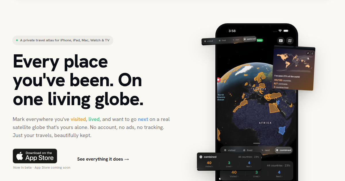
Mapsake tracks countries, regions, cities, airports, and custom places with dates, notes, imports, and photo evidence. Use this website map for a fast visual goal or shareable snapshot. Use a private atlas when you want the boundaries to lead back to the stories inside them.
The useful map is the one whose rules you understand and whose result you will update. Start with the scale that matches your travels, mark only what you can defend, and let the blank areas become ideas rather than obligations.