Review edge cases
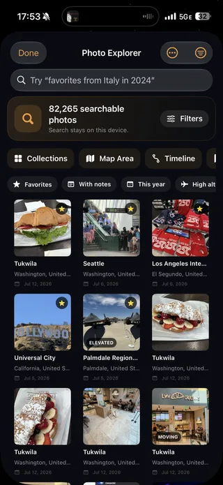
Exclude screenshots, edited media, unwanted devices, isolated images, high-altitude points, or connection airports that do not match your definition of a visit.
Travel map from photos
Mapsake reads the location already saved with your Apple Photos and matches each memory to a country, region, and city. The result is a private atlas you can explore in minutes, even if your library spans decades.
Free. No account. Photo matching stays on your device.
How it works
01
Grant access to the photos you want Mapsake to use. You stay in control of the library permission.
02
Mapsake resolves photo coordinates to countries and cities locally. Your library is not uploaded for processing.
03
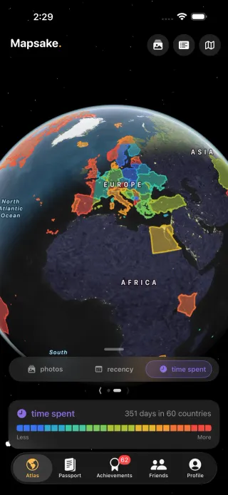
Open any place story, browse its photos and dates, or shade your world by photo count, recency, and time spent.
More than pins
Photos can build the foundation, then Mapsake lets you correct, expand, and organize the record. Add places with no photos, separate where you visited from where you lived, and keep future trips in a distinct next list.
What the scan can and cannot know
A located photo can show when and where a camera captured an image. It cannot always tell whether you stayed, connected through an airport, photographed from a plane, or saved an image taken by someone else. Mapsake shows the discovered places before they become part of your atlas.
Exclude screenshots, edited media, unwanted devices, isolated images, high-altitude points, or connection airports that do not match your definition of a visit.
Trips without located photos are not guessed. Add those places manually, correct dates, and attach notes without rebuilding the rest of the map.
Supported matching and place resolution stay on the device. Sharing a card or read-only map is a separate choice you control.