Roadmap
What Should Mapsake Build Next?
These are questions, not promises: six larger directions Mapsake could explore and the product, privacy, and maintenance tests each would need to pass.
A roadmap built from problems, not promises
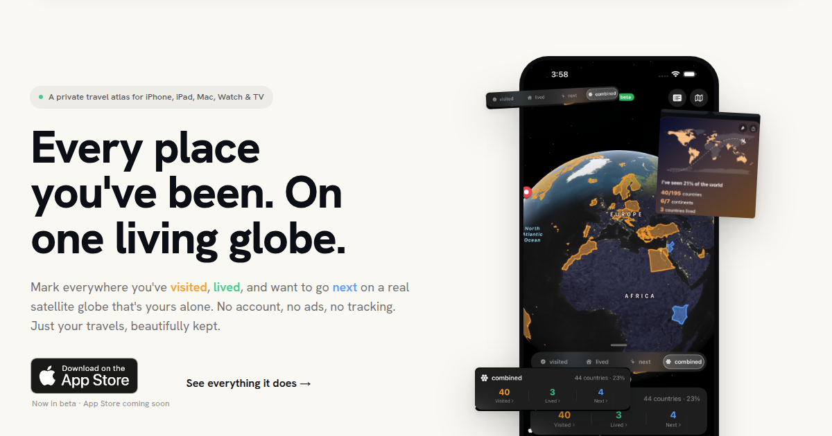
Mapsake has grown from a private visited-place map into a broader atlas for photos, imports, Passport memories, friends, achievements, and Maplight. That creates many possible directions - and a responsibility to avoid turning every interesting idea into a crowded feature.
This is an exploration of larger additions under consideration, not a release schedule. None of these concepts is promised, and each would need to earn its place through usefulness, privacy, accessibility, performance, and maintenance.
The most helpful feedback explains the problem you want solved, the data you already have, and what a successful result would change for you.
Trips as first-class stories
Mapsake already understands dated places and travel evidence. A deeper Trips feature could group that material into a named journey with a start and end, cover image, route, companions, notes, and highlights.
The hard question is how much should be automatic. Date and distance can suggest a trip, but they cannot reliably know whether a connection, work visit, day trip, or move belongs inside it. A good design would make suggestions reviewable and manual editing easy.
Trips could become the bridge between the atlas and a journal: open a route on the globe, then move through places and photos in sequence without duplicating the underlying history.
Smarter local photo organization
Photo Explorer already searches and filters a private library. A possible next step is more on-device organization: surfacing overlooked sequences, grouping related days, or finding visually connected moments without uploading the photo collection to a Mapsake server.
The opportunity is large, but so are the constraints. Analysis has to respect battery, storage, limited-library permissions, iCloud originals that are not downloaded, and understandable controls. “Smart” results also need correction and an explanation of why something appeared.
The goal would not be to replace Apple Photos. It would be to answer travel-specific questions that a general library does not prioritize.
Collaborative trip planning
Friends currently support selective comparison and sharing. Collaboration could extend into planned places or a shared trip board: destinations under consideration, votes, notes, and the final route.
This immediately raises identity and permission questions. Mapsake's core app does not require a Mapsake account, so real-time collaboration cannot be treated as a small checkbox. iCloud sharing might preserve the Apple-first model, while link-based collaboration could be more accessible across platforms but require a larger web service.
A useful first version might be deliberately asynchronous and narrow rather than a full chat or booking product.
Deeper transport history
Flight imports are valuable because movement between places is part of the story. A broader transport layer could include trains, ferries, road routes, and walks, then distinguish transit from a destination visit.
The difficulty is source diversity. Airlines, rail operators, GPX tracks, calendars, and manual entries all describe journeys differently. Mapsake would need a portable model that preserves evidence without pretending every source has exact routes.
The feature could enrich trip maps and lifetime statistics, but only if imports remain reviewable and do not turn the atlas into an opaque collection of guessed lines.
A more expressive public map
Public sharing is intentionally opt-in and limited. A more expressive public map could allow selected trips, notes, Passport cards, Maplight totals, or themed collections while keeping the private atlas private.
Every new surface must answer: what is shared, for how long, with whom, and how is it revoked? A beautiful result is not enough if the owner cannot predict what a link exposes.
Possible improvements include expiring links, audience presets, clearer previews, and self-contained exports that do not stay online. The strongest direction may be better control rather than simply more content.
Personal travel insights that stay personal
Mapsake can derive patterns from dates, places, photos, and Maplight coverage: return destinations, seasonal habits, time close to home, changes after a move, or the balance between new places and familiar ones.
Insights should avoid grading a life. More countries is not automatically better, and a quiet year is not a failure. The valuable observation is specific, accurate, and connected to memories someone can open.
Keeping this local-first means doing aggregation on the device and sharing nothing unless requested. It also means designing summaries that remain fast on years of history.
How ideas should be judged
Before a large feature moves forward, it should pass several tests:
- Does it solve a recurring travel-memory problem?
- Can someone understand and correct its result?
- Does it work without creating an advertising profile?
- Can private source data remain on the user's devices?
- Does it fit the atlas instead of duplicating a specialist app poorly?
- Can an independent app maintain it well?
An idea can be exciting and still fail those tests. Saying no is part of keeping the parts that remain coherent.
What should Mapsake build next?
The options above are deliberately broad. You may want something smaller: a missing export column, a better way to count connections, another import format, clearer achievement progress, or a fix for a workflow that currently takes too many taps.
Use the feedback form and describe the moment where Mapsake stops helping. Include which device and source data are involved, but do not send private material the report does not need.
Roadmaps age quickly. User problems are more durable. The next large addition should come from the overlap between those real problems and what Mapsake can build with care.